After a season in Japan that can only be described as too busy, a road trip was in order to explore some remote areas and decompress. Thankfully, Ryan Taylor was kind enough to accompany me to finally ski the Shiretoko Peninsula.
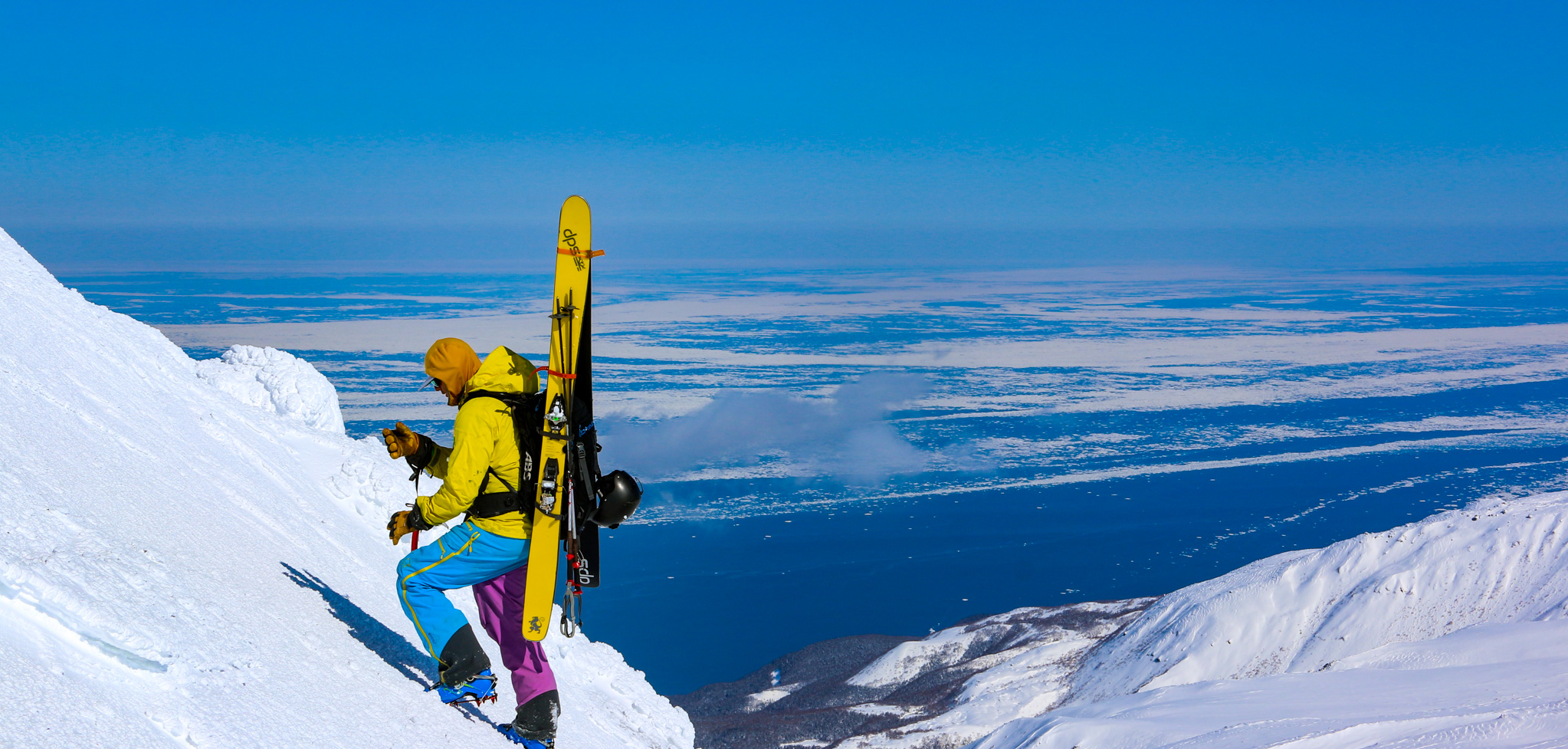
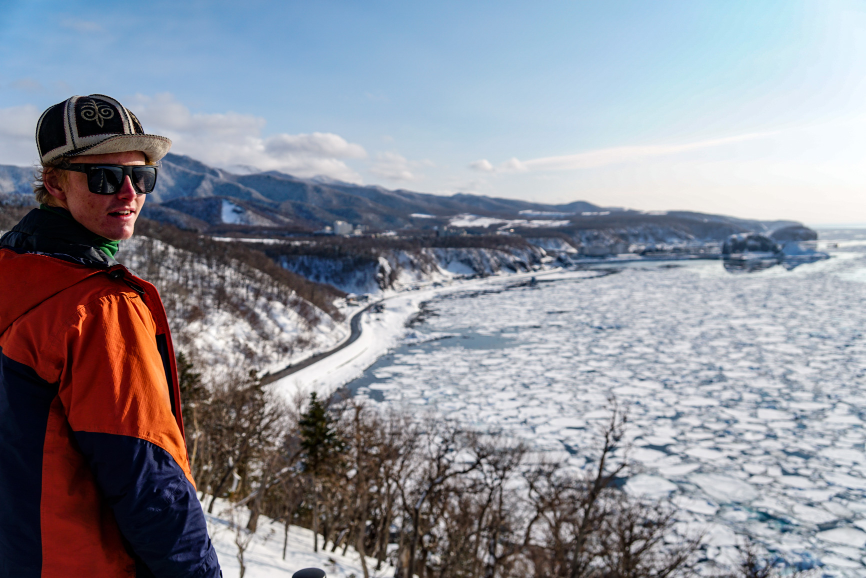
The Shiretoko Peninsula is a UNESCO world heritage area in the north-eastern most part of Hokkaido and in Ainu language, the original peoples of Hokkaido, shiretoko means ‘the end of the earth’. It certainly feels like the end of the earth as the peninsula juts out into the Sea of Okhotsk, which in the winter months is encapsulated in a bed of sea ice.
On the eastern flank of the peninsula, the ‘Northern Territories’ as the Japanese call them, or the Kuril islands as we know them, are clearly visible separated only by the small strait of Nemuro. The Kuril islands were annexed by Russia at the end of World War 2 and is still a point of contention between the two countries.

I had visited the Shiretoko peninsula in late March 2016, but abandoned plans to solo ski Rausu dake and other mountains in the area after an early spring caused the local bear population to awake from hibernation. Shiretoko peninsula has the world’s densest population of brown bears and the Ussuri brown bear, whilst no grizzly, isn’t something to be trifled with either.
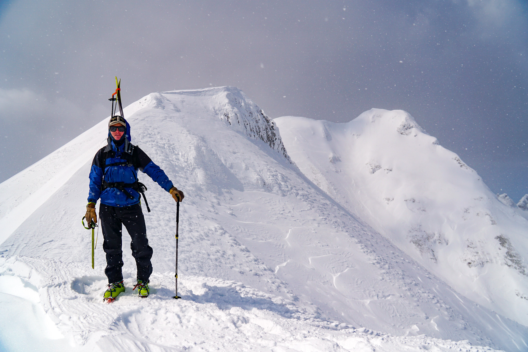
A handful of good weather days forecast in one of the most weather temperamental zones of Japan meant the opportunity to climb and ski Rausu dake and Shira dake, the two more impressive mountains on the peninsula were afoot.
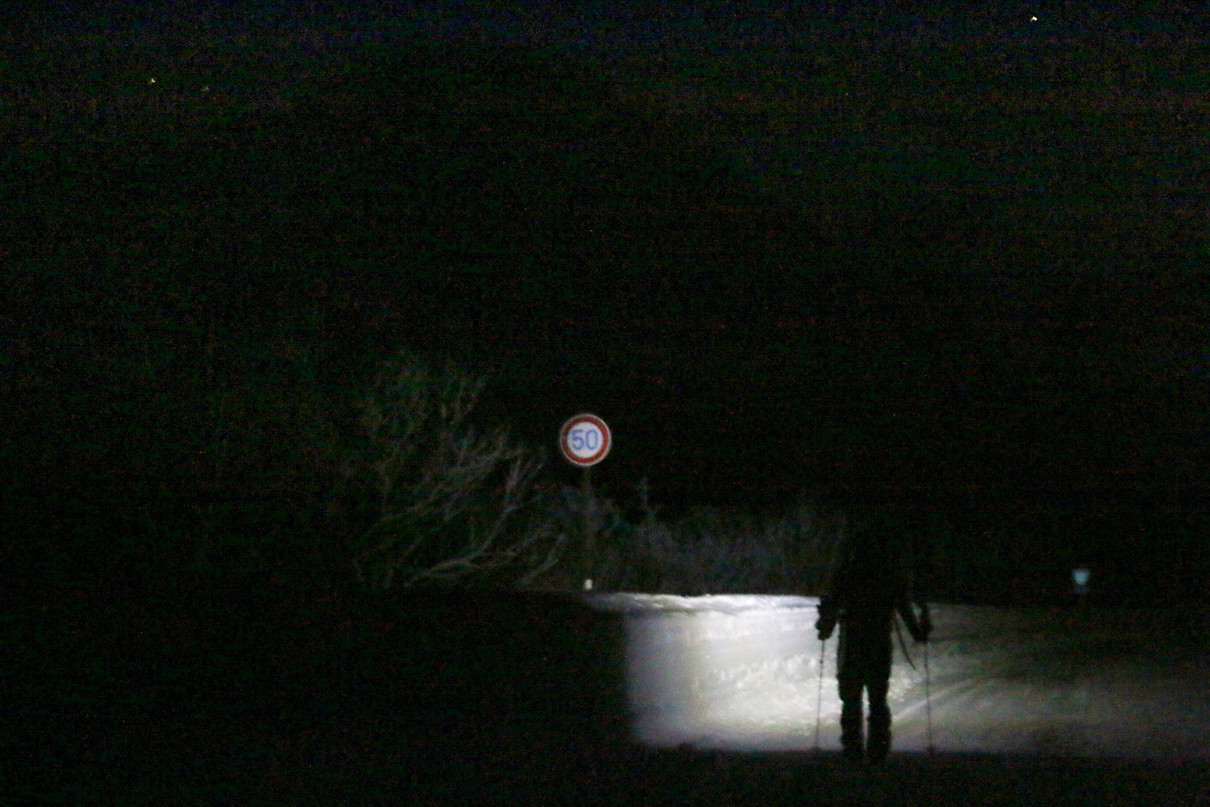
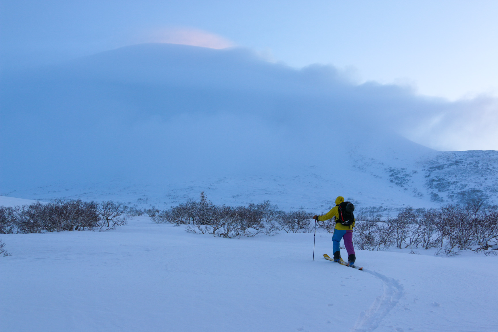
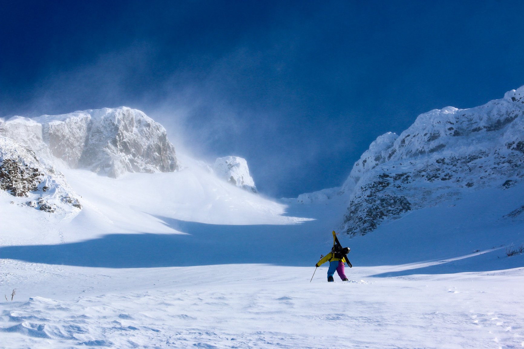
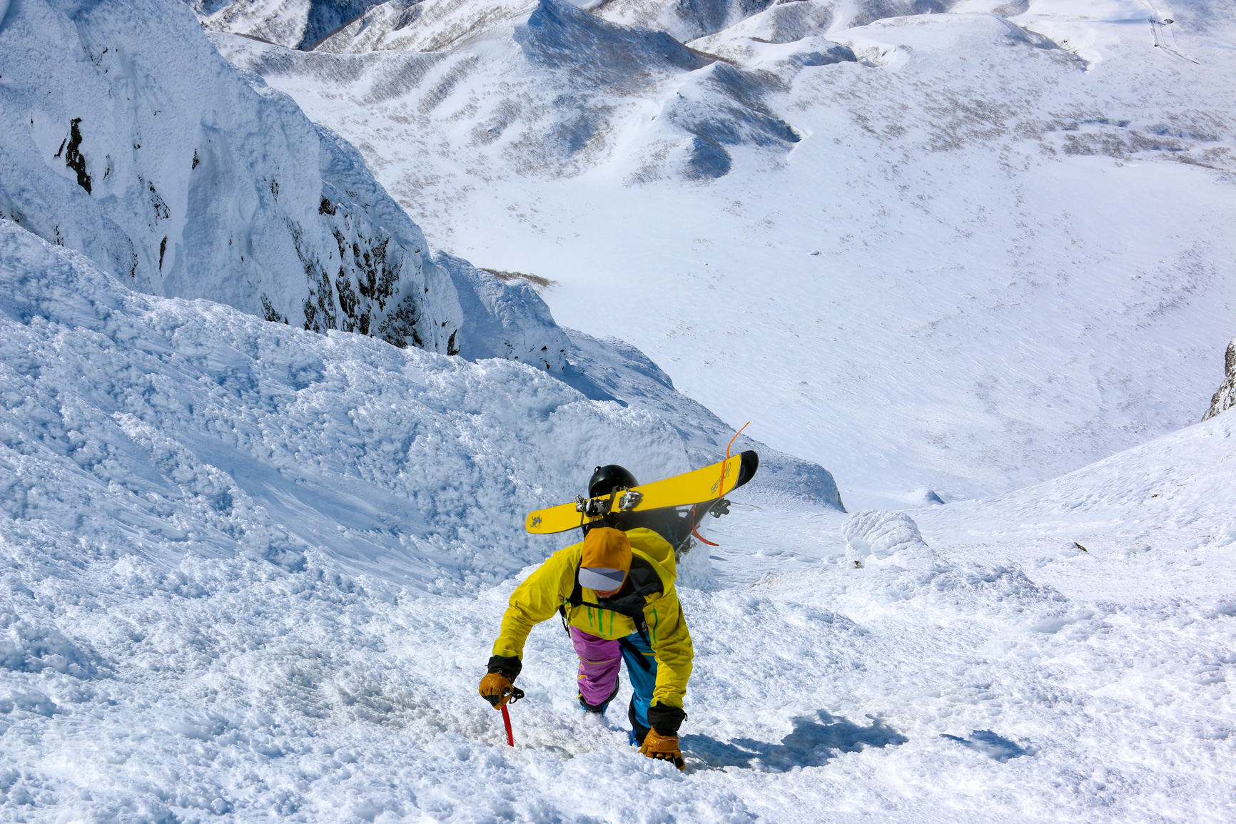
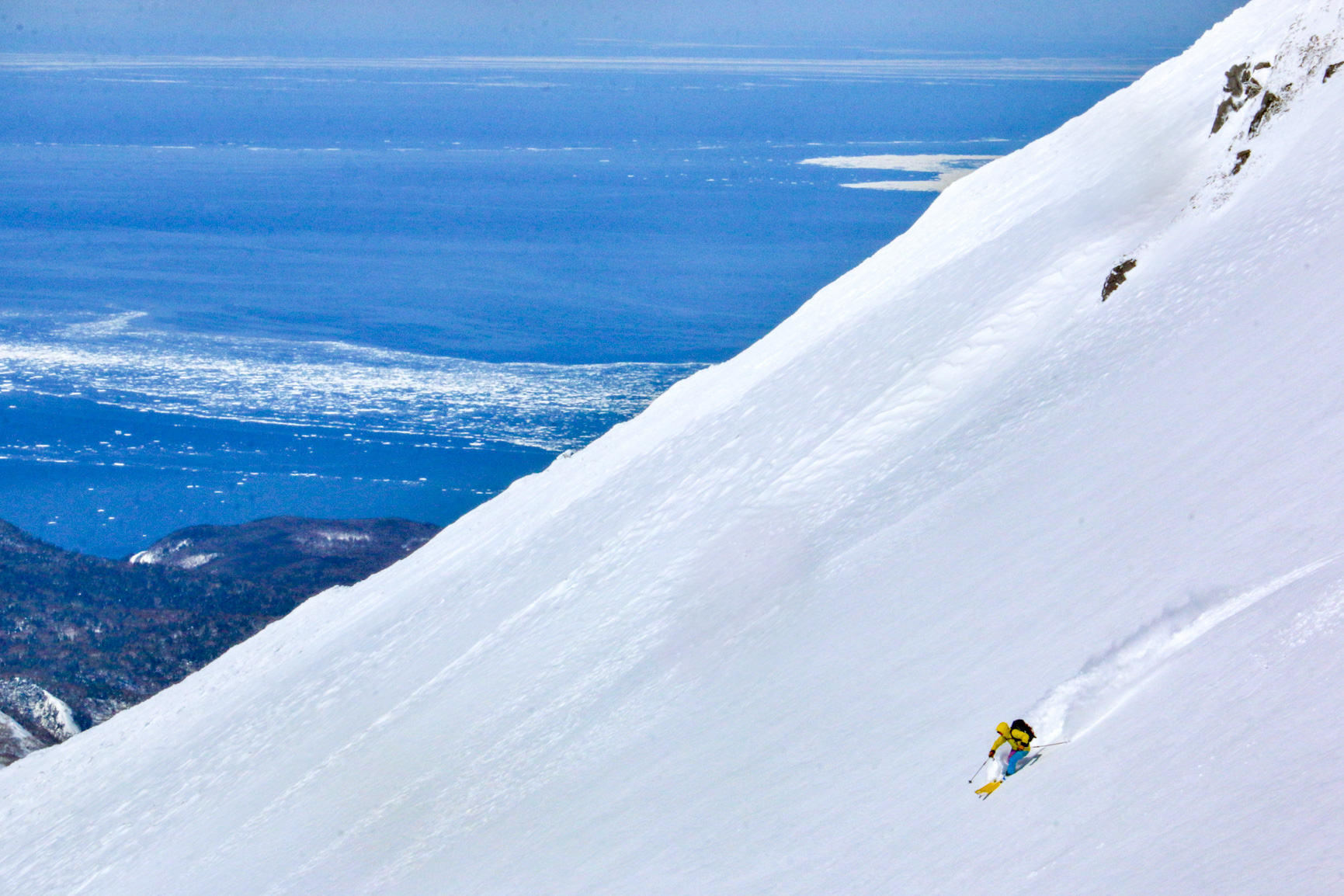
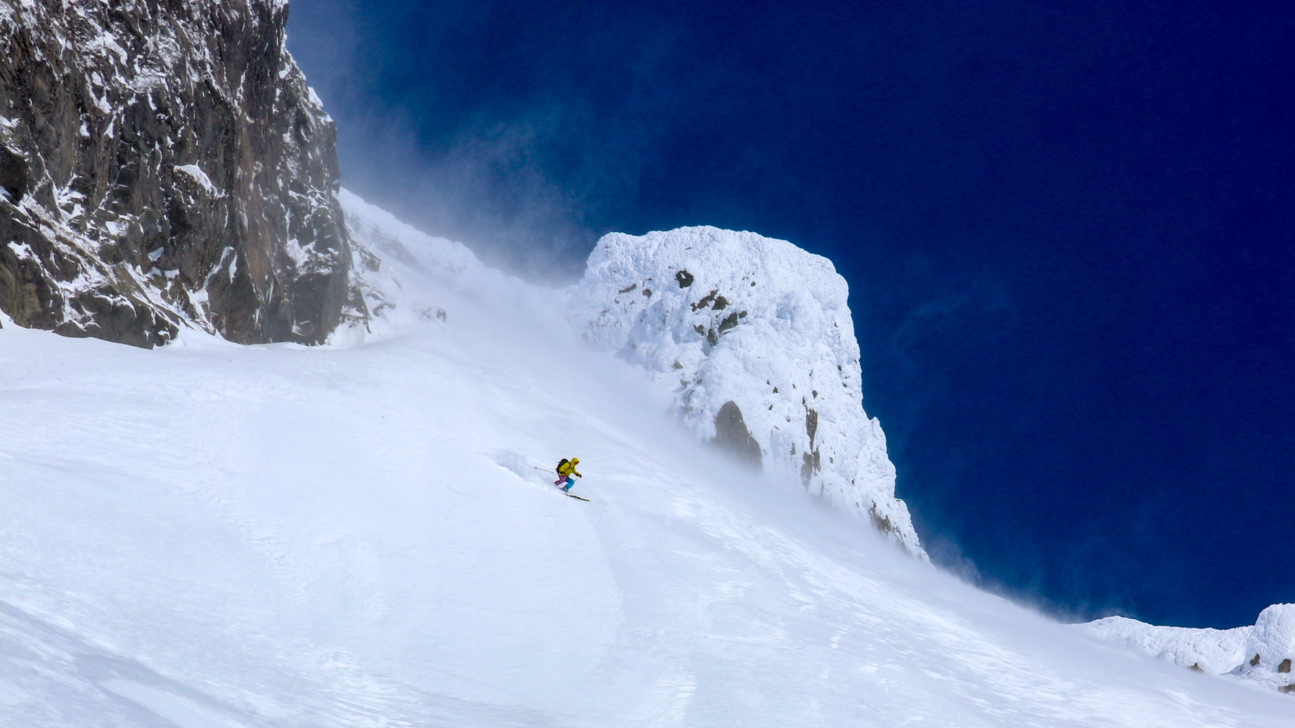
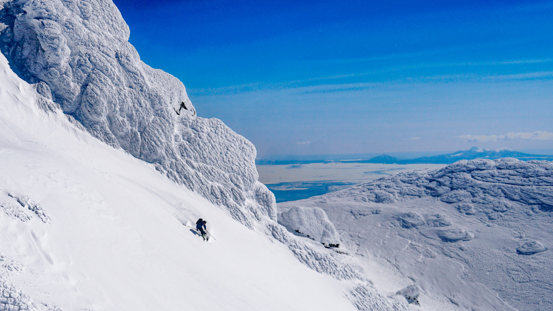
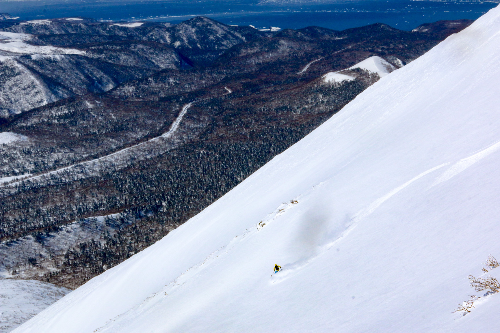
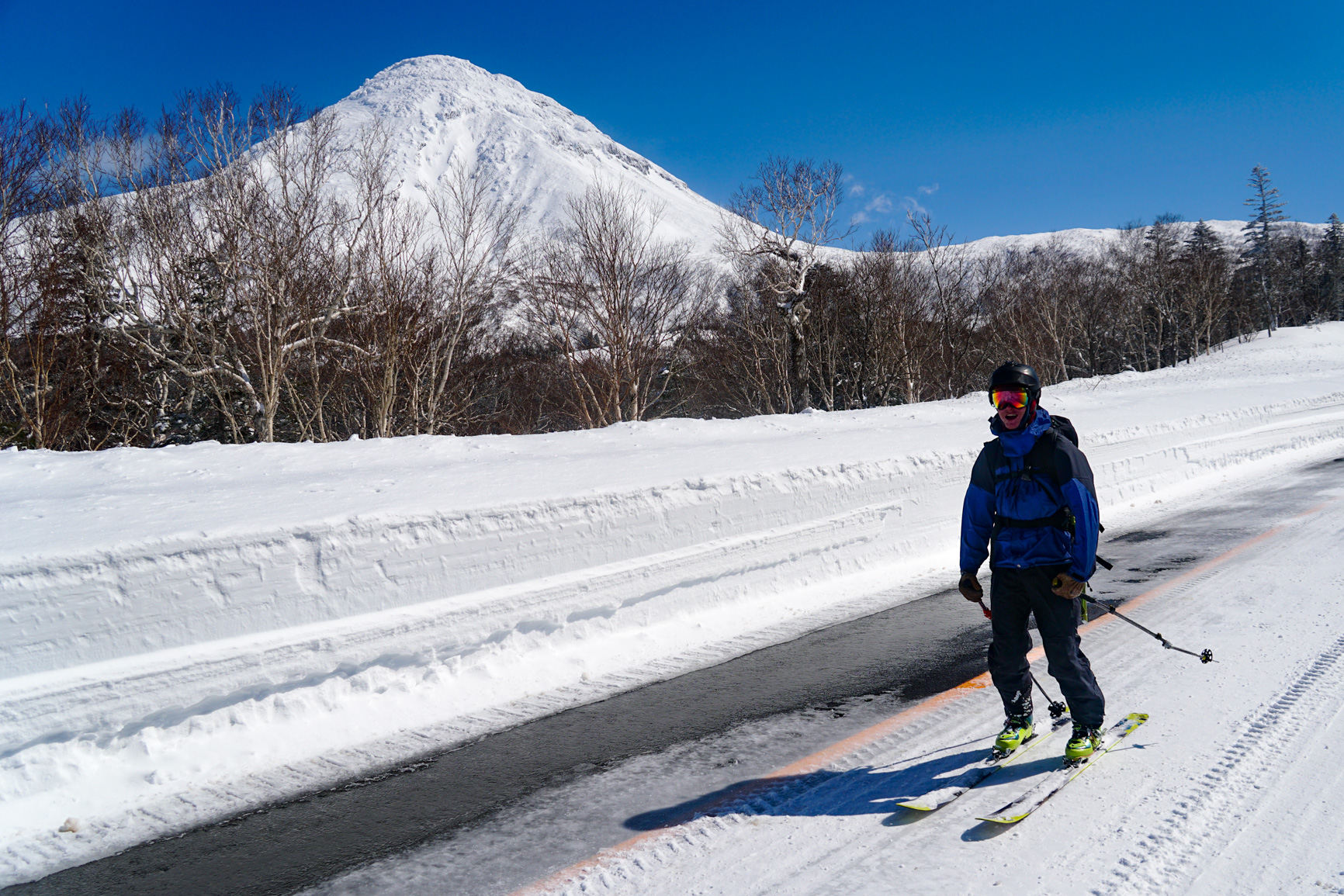
With a strong spring sun forecast and a lot of new spring snow, Ryan and I set off early (2:00am) to climb the south facing Rausu dake couloir, before the sun affected it too heavily. We needn’t have worried as the strong winds had not only heavily redistributed the snow in the alpine but also kept the surface conditions dry well into the late morning. But before climbing the mountain, we needed to walk up the cleared, but not yet open, Shiretoko Pass road, a 10.5km long journey in the dark up into the winds and early morning orographic clouds.


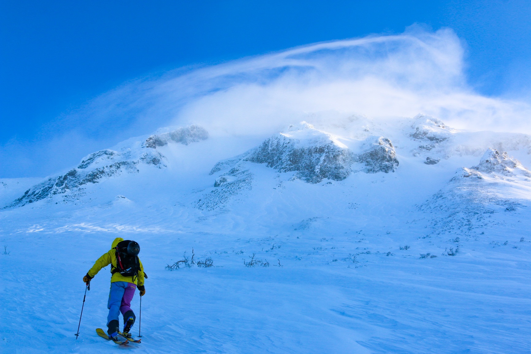
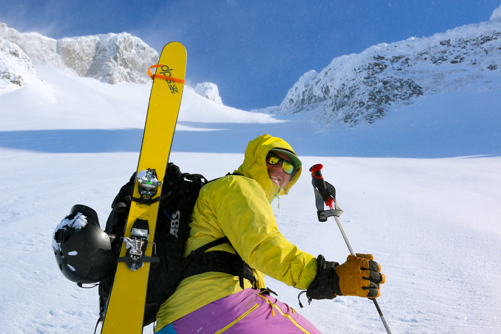
The couloir itself is a relatively easy ascent up 750m above the top of the Shiretoko pass, the upper reaches of which require the use of crampons. The upper portions of the mountain were encrusted in rime which thankfully wasn’t icy.


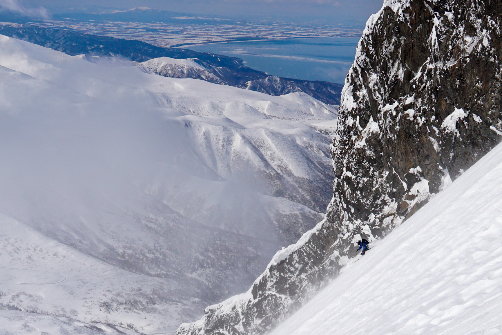
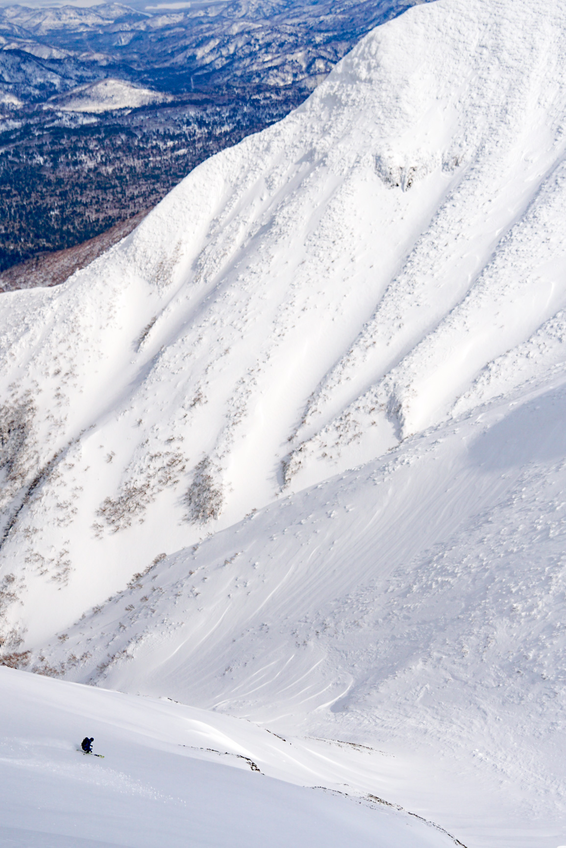
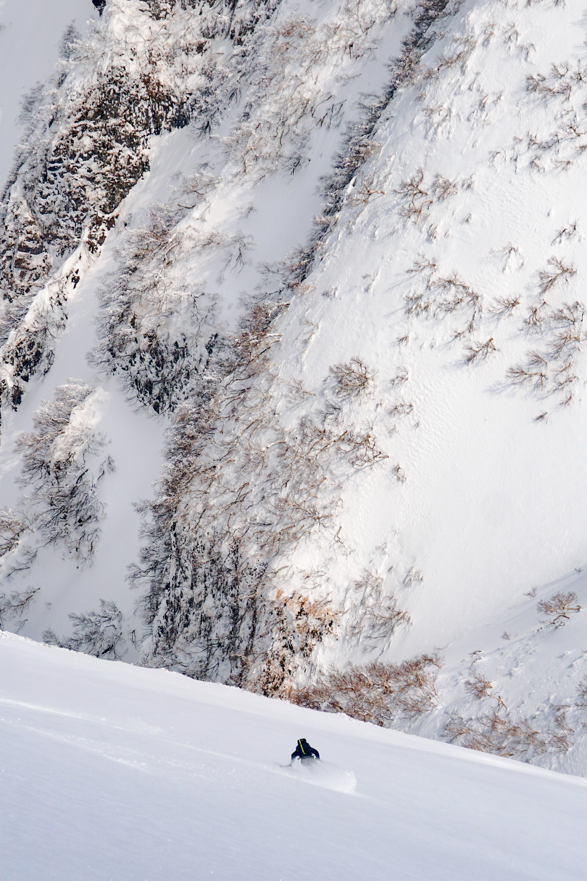
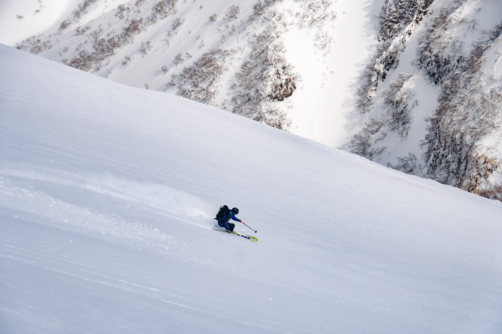
The descent back down to couloir allowed for many scenic shots and some pretty decent skiing on nice enjoyable, grip-able snow.


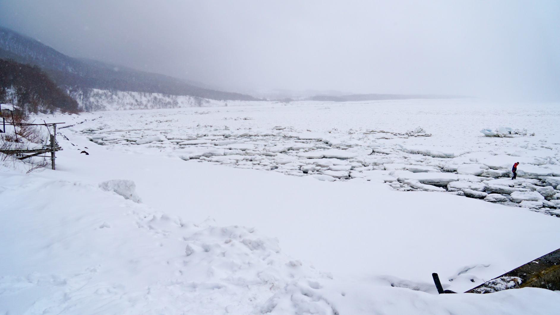
And with that it was time to say Sayonara to Rausu dake and descend back to Utoro town and explore the sea ice, local town and fantastic sunset onsen.


[map style=”width: auto; height:400px; margin:20px 0px 20px 0px; border: 1px solid black;” gpx=”https://skidescent.com/wp-content/uploads/Rausu South Couloir.gpx”]
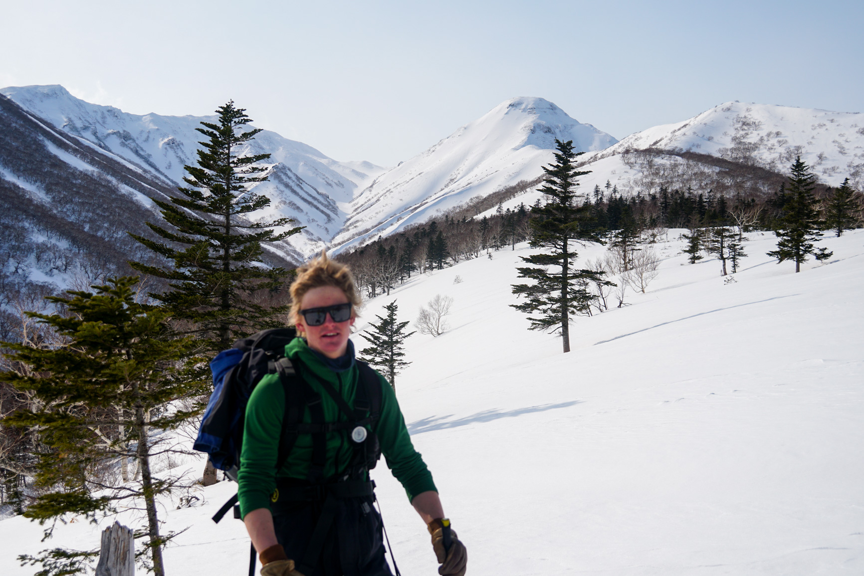
The next day, we decided to try our luck on Shira dake a very prominent free standing mountain sitting at the base of the Pensinula.

Ascending up towards to the summit from the highway, we trudged along the long flat plateau before finally gaining a broad ridge and ascending up into the tree line and seeing towards the upper reaches of the mountain. Crampon’ing up the steep ridge following the summer path led us to the peak, which all occurred pretty quickly once we actually reached the mountain from the highway.


A short descent down to the valley below the summit before traversing back to retrace our steps back to the car park, which thankfully, was packed well enough with just enough incline to allow us to glide all the way back over the 4km of flatlands.


A successful trip to a rarely skied part of Hokkaido.
[map style=”width: auto; height:400px; margin:20px 0px 20px 0px; border: 1px solid black;” gpx=”https://skidescent.com/wp-content/uploads/Shiradake from highway.gpx”]
Hey Awesome photos and great post! I’m heading to Hokkaido this Christmas/New Years, and was hoping to do some ski tours like this, any tips? Is it hard to meet people over there for adventures of this variety? Cheers, Luke
Hi Luke, yes, I think it would be difficult for you to meet and then organise people for a remote / obscure tour if you’re just there on holidays for one or two weeks. Most people would be in the same position as you, being there just for a holiday and would have their accomodation already sorted and not keen to abandon that to go somewhere else.
If you can meet people at your accomodation or at the bar in furano or niseko and you have a car, you may be able to organise a day tour or two somewhere closer to a tourist centre like niseko (yotei, Sheribetsu, sidecountry) or furano (tokachidake, Asahidake or sidecountry).
Good luck and have a good holiday.