We attempted to start the Wapta traverse on Saturday, 6th May, but were thwarted by an isothermal snowpack, rain and the icefields parkway road being closed due to a large avalanche cycle.


It took a couple of days for the road to re-open and the weather to moderate but Monday, 8th May allowed for Patrick Smith and myself to start the Canadian staple of ski traverses, the Wapta.
Day 1
We started from Bow Lake with the rest of the original group of Wapta participants, who couldn’t get the additional days off to complete the full tour, but were headed on up to Bow Hut to ski something.

Ascending up the valley, we followed a well beaten path, still visible from prior to the last rain event, which eventually led into a deep river bed where, unfortunately, the previous days of rain and warm weather had done some tragic destruction to the trail. Everyone got wet at this point, I ended up in water up to my waist when a sketchy snow bridge collapsed.

Also disastrously, when I threw my backpack across the creek, my lens self-destructed, fixed as best as I could with a swiss-army knife, you now know why some of the photos from this trip are out of focus…
Pat and myself continue up valley towards Bow Hut, slowly drying out as we go.


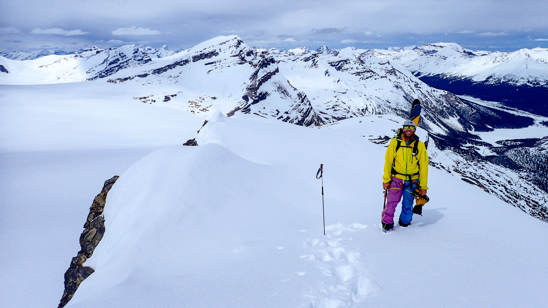
After an hour or so of drying our gear and waiting for the rest of the party to make it to the hut, Pat and I decided to go for an afternoon ski up to the glacier and see what was worth climbing. We decided on St Nicholas Peak.


 showing our tracks")

Day 2
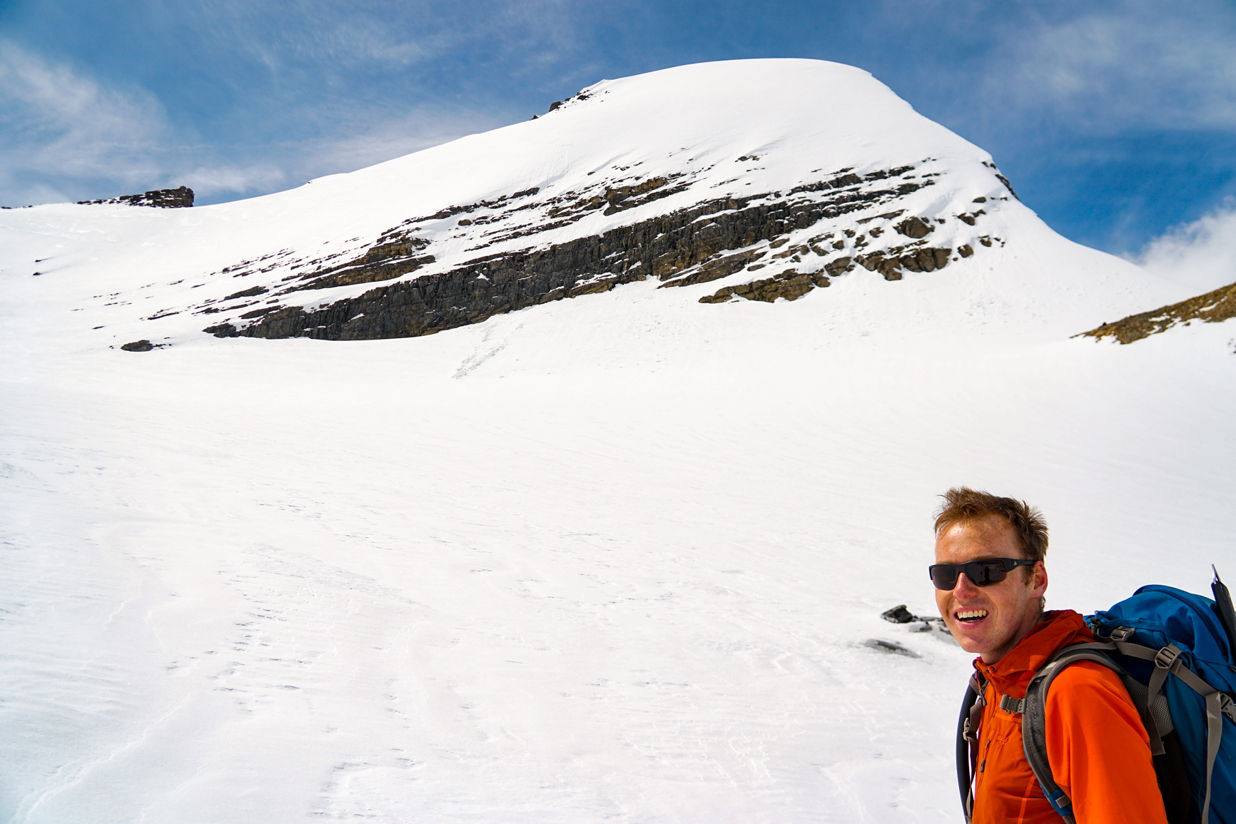
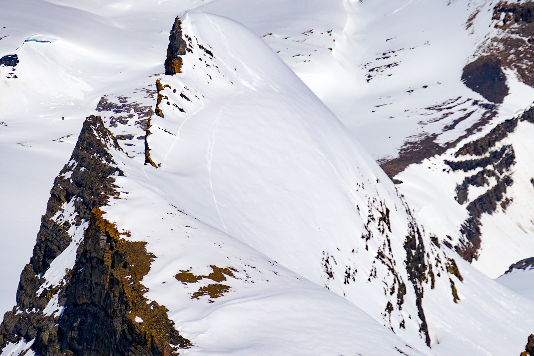
Heading out from Bow Hut we ascended onto the Wapta icefield and proceeded towards Vulture Col. With plenty of daylight, we climbed Mt Olive and Mt Gordon, the flanking mountains of Vulture Col along the way.


After skiing down Vulture Col, we performed a low-definition ski down the glacier to Balfour Hut.


Day 3
Our goal for day three was to get up and over the Balfour Col and hopefully ski something along the way.

Unfortunately, mother nature had other ideas, we ascended up into ever-lowering clouds, aiming for the large cliff-face mid-slope provided a solid point of reference. Unfortunately, upon reaching the top of the cliff-face, we had nowhere else to go in the whiteout conditions.


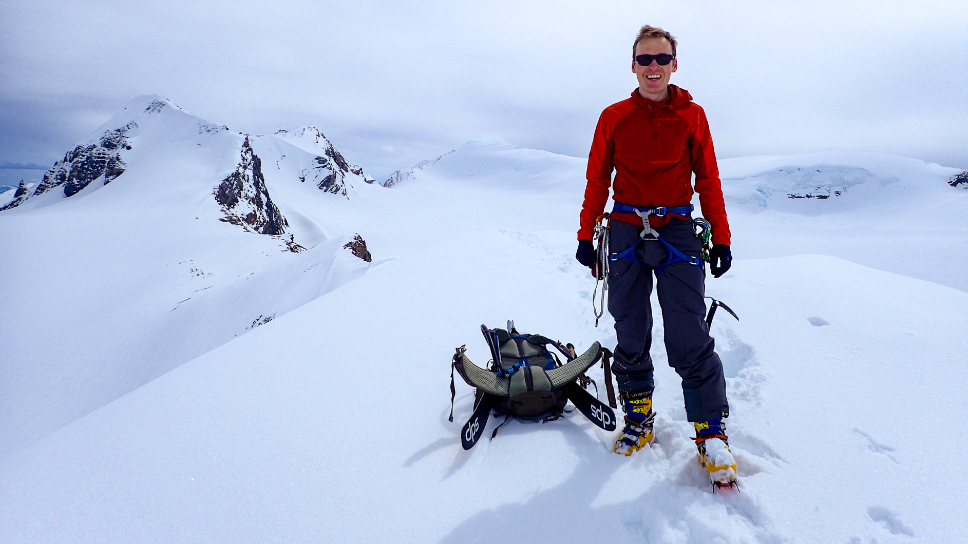
With little to no definition on the glacier, we waited it out for an hour and a half before descending back to the hut where tea and another episode of Luke Cage was on offer on my iPhone. I also had some nap time. 3:00pm rolled around the weather started to improve. Setting off for a round two attempt to get over the Balfour col proved successful and thankful for the long daylight hours of a Canadian spring, we made it easily to our last hut, Scott Duncan Hut after crossing the Waiputik icefield.


Day 4
Our last day, we awoke to mostly clear skies, but remembering the forecast was for afternoon rain/thunderstorms, we made a straight line for our exit off the glacier and to the Niles Col.


After scrambling over a (not confidence inspiring) ‘frozen’ lake, we descended down towards the Trans-Canada highway and Pat’s truck parked at the Great Divide Lodge, following an ever more treacherous white ribbon of a summer hiking trail. Sometimes, less white than other times.
