In late August 2017 I went up the Macauley valley with Kevin Canning to try to ski Mt Sibbald but was forced back by gale force winds before getting close to the summit.Another complication on that trip was that the 4wd track and entire valley bottom were covered in snow making driving up the valley difficult, or not possible in the case of a novice 4wd driver, aka me.

On 26 September 2018 I went back up the Macauley valley with Manu Greer. Thankfully it was absent of snow, which made the drive an easy 4wd, only crossing the river proper a handful of times, all the way to the hut. It took about 2 hours of slow driving to make it from the first crossing of the Macauley river near lilybank station to the hut.

On the 27th we departed the hut and walked up the grassy valley to the Upper Tindill stream.


From the col you need to climb a final steep pitch that gets you above the prominent large rock feature and within sight of the northern ‘summit’ of Mt Sibbald.


From there it’s an easy skin to the north ‘summit’ with great views of the surrounding mountains.

I tried to reach the true summit which is south of the ‘north summit’ that is usually where skiers stop. A relatively easy down climb off the north summit to a snowy col and then an easy climb up to the middle summit didn’t take very long. Unfortunately, the next col between the middle summit and the true summit of Mt Sibbald was a little bit more sporting. Manu had forgotten his crampons so I was walking solo and also on a bit of a time-crunch to get back to Manu and ski down. I think I would have preferred some moral support and perhaps a bit of rope-work to safely descend the middle summit and ascend up the true summit rocks. Maybe next time.


Returning to Manu on the north summit we put our skis on and had a decision to make;
- descend the way we came up; or
- descend the glacier route; or

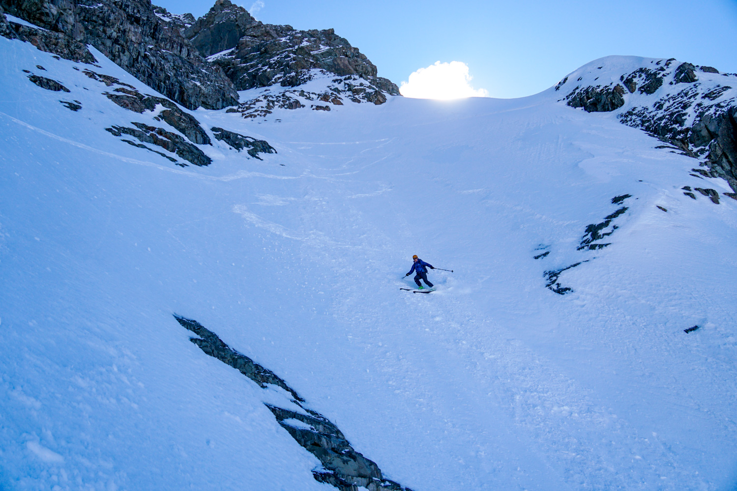
Sibbald glacial route - descend through the couloir.


We chose to ski down the couloir and encountered a mix of good powder skiing and breakable crust and spring snow at the bottom, depending on the aspect. Overall, it was an enjoyable descent, being not too steep or committing. The easiest landmark for finding the couloir from the top is to ski the east facing slope with the large rock feature you skin by directly to your skiers left. When the slope starts to slightly bench out and before committing to any of the gulley features, traverse far left until you are against the rock wall and can see down the couloir to the corner. There is one couloir on the skiers right of the correct couloir and that one bluffs out at the bottom.


After the couloir it’s an easy ski down from the lake back to snow line and the walk back to the hut.

It is 1800 vertical metres and just shy of 19km roundtrip to the top of Sibbald and took us 9.5hrs hut to hut in no particular rush.